GIS Contributions
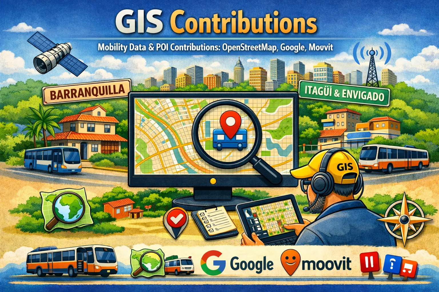
Summary of contributions to mobility data and POI (OpenStreetMap, Google, Moovit).
Since 2011 I have made sustained contributions to several open and commercial geospatial data platforms. My main motivation is to improve map quality in Colombian cities that tend to have sparse coverage, particularly regarding roads, signage, public transport and points of interest. Over the years I have focused on two main areas: Barranquilla — where I started mapping in 2012 — and Itagüí / Envigado in the Metropolitan Area of Medellín, where I resumed active editing in 2022. In both areas the working pattern has been the same: focused mapping campaigns, corrections based on official sources, and assisted maintenance using tools such as JOSM, iD and MapRoulette.
OpenStreetMap
Mapping since 14 February 2011, with the last edit on 19 July 2023. All contributions are auditable in the edit history and exportable under the ODbL licence.
Barranquilla (2012 – 2017)
Road coverage in Barranquilla was sparse when I started. I focused on:
- Administrative classification of major roads (Carrera 38 and secondary corridors).
- Correction of road geometry between Carreras 54–56 and Calles 75–76.
- Mapping traffic lights at key intersections (Carrera 27 at Calle 64, northern corridors).
- Addition of POI and businesses on Carrera 18 between Calles 53D and 63C.
- Correction of public transport stations (Portal de Soledad) and addition of missing areas.
- Naming of unidentified features such as the Glorieta de la 17 roundabout.
- New streets in the municipality of Soledad and improvement of its general coverage.
Itagüí and Envigado (2022 – 2023)
Returning to active mapping, I concentrated on the southern metropolitan area of Medellín:
- Road directions in the Santa María neighbourhood, Itagüí (2022): update applied using the official decree of the Alcaldía de Itagüí dated 12 July 2022 as a verified source.
- Parque del Artista and surroundings (Jun. 2023): a campaign of 60 changes — the largest single changeset — including the creation of 44 new elements and correction of 15 existing ones in Itagüí.
- Road expansions in Envigado (Jul. 2023): correction and update of expanding road sections, removing obsolete geometries.
- Correction of obsolete tags (
deprecated_tags) via a MapRoulette challenge.
Other areas
- Update of bus terminals in Barranquilla (Sobusa, Lolaya, Carolina).
Google Maps — Local Guide Level 5
Complementary activity focused on on-site validation: reviews, photographs and verification of POI data. These contributions serve as social evidence and do not rely on closed APIs to be reported.
Moovit — Level 2
Verification of public transport stops and routes from real-world experience as a user. Used as a precision indicator in urban mobility apps.
Full edit history on OpenStreetMap: OpenStreetMap — Scot3004 contributions